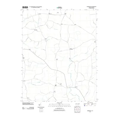
2010 Map of Hobbsville
USGS Topo · Published 2010About this map
The Perquimans River meanders through this coastal plain landscape, defining the geographic character of northeastern North Carolina at the turn of the 21st century. The map centers on the agricultural crossroads and small communities that have long anchored the region, such as Hobbsville, Belvidere, and Snow Hill. Local family history and genealogy are preserved through several burial grounds, including the Piney Woods Cemetery and Chappells Hill Cemetery.
Find a feature on this map
63 named features on this map. Tap any name to fly to it.
Don’t see what you’re looking for? This feature index may not catch every label — zoom into the map to look around manually.
Map Details
Editions of this 2010 Hobbsville Map
This is the sole edition of this map. No revisions or reprints were ever made.
Other maps of this area

1904 · Edenton
USGS Topo · 1:62,500

1906 · Hertford
USGS Topo · 1:62,500

1906 · Beckford
USGS Topo · 1:48,000

1907 · Beckford
USGS Topo · 1:62,500

1940 · Hertford
USGS Topo · 1:62,500

1940 · Beckford
USGS Topo · 1:62,500

1940 · South Mills
USGS Topo · 1:62,500

1942 · Edenton
USGS Topo · 1:62,500

1943 · Edenton
USGS Topo · 1:62,500

1952 · South Mills
USGS Topo · 1:62,500