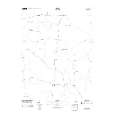
2013 Map of Hobbsville
USGS Topo · Published 2013About this map
The Perquimans River defines the southeastern landscape of this coastal plain region, winding through a network of rural hamlets and agricultural crossroads. The map documents a high density of named settlements such as Hobbsville, Belvidere, and Snow Hill, illustrating the persistent small-town structure of Gates and Perquimans Counties. Transport routes like Acorn Hill Rd and Joppa Rd connect these hubs, crossing tributaries like Trotman Cr and Warwick Cr. Local landmarks including Perry Bridge and intersections at Keys Crossroads or Hickory Crossroads serve as focal points for the surrounding farmland. This modern survey captures the enduring rural character of northeastern North Carolina, where traditional place names and family-named roads like Fred Stallings Ln continue to define the geography.
Find a feature on this map
68 named features on this map. Tap any name to fly to it.
Don’t see what you’re looking for? This feature index may not catch every label — zoom into the map to look around manually.
Map Details
Editions of this 2013 Hobbsville Map
This is the sole edition of this map. No revisions or reprints were ever made.
Other maps of this area

1904 · Edenton
USGS Topo · 1:62,500

1906 · Hertford
USGS Topo · 1:62,500

1906 · Beckford
USGS Topo · 1:48,000

1907 · Beckford
USGS Topo · 1:62,500

1940 · Hertford
USGS Topo · 1:62,500

1940 · Beckford
USGS Topo · 1:62,500

1940 · South Mills
USGS Topo · 1:62,500

1942 · Edenton
USGS Topo · 1:62,500

1943 · Edenton
USGS Topo · 1:62,500

1952 · South Mills
USGS Topo · 1:62,500