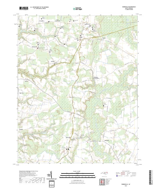
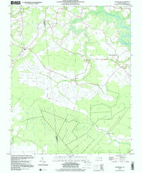
2022 Map of Hobbsville
USGS Topo · Published 2022About this map
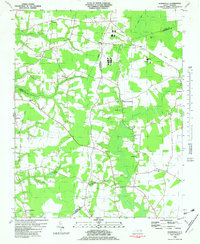
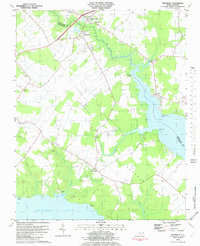
Family-named plots and rural crossroads define the landscape of this 2022 survey along the border of Gates, Chowan, and Perquimans Counties. For genealogists, the map is a dense record of family heritage, marking the Josiah Overman Family Cem, Genevieve Harrell Gravesite, and Hollowell Family Cem among many others. The terrain is shaped by the southern reaches of the Great Dismal Swamp and the headwaters of the Perquimans River, where timbered wetlands meet agricultural fields.
Find a feature on this map
92 named features on this map. Tap any name to fly to it.
Don’t see what you’re looking for? This feature index may not catch every label — zoom into the map to look around manually.
Map Details
Editions of this 2022 Hobbsville Map
This is the sole edition of this map. No revisions or reprints were ever made.
Historical Maps of Sandy Cross Through Time
18 maps found
1982 Center Hill
Perquimans County, NC
1982 Chapanoke
Perquimans County, NC
1982 Harvey
Perquimans County, NC
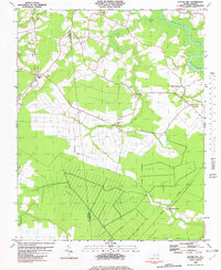
1982 Hobbsville
Perquimans County, NC
1982 Nixonton
Perquimans County, NC
1982 Stevenson Point
Perquimans County, NC
1982 Yeopim River
Perquimans County, NC
1997 Center Hill
Perquimans County, NC
1997 Chapanoke
Perquimans County, NC
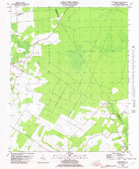
1997 Hobbsville
Perquimans County, NC
1997 Stevenson Point
Perquimans County, NC
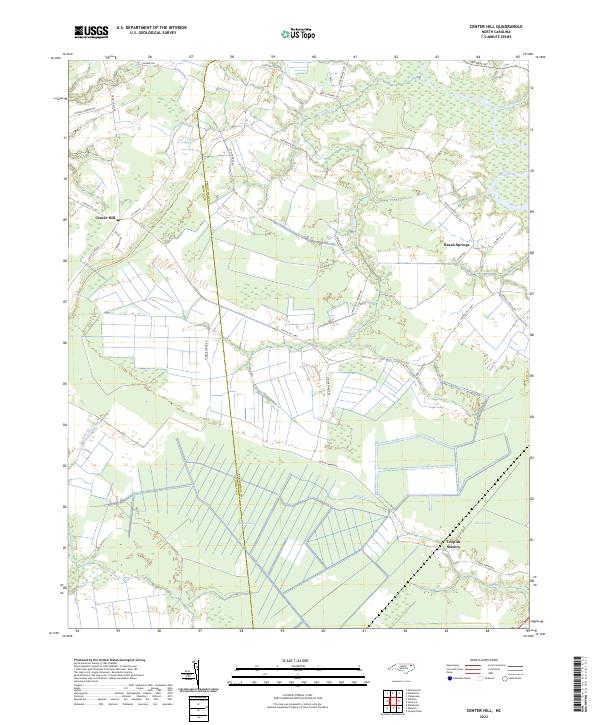
2022 Center Hill
Perquimans County, NC
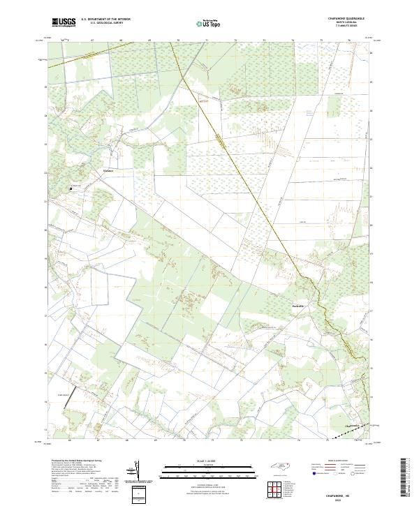
2022 Chapanoke
Perquimans County, NC
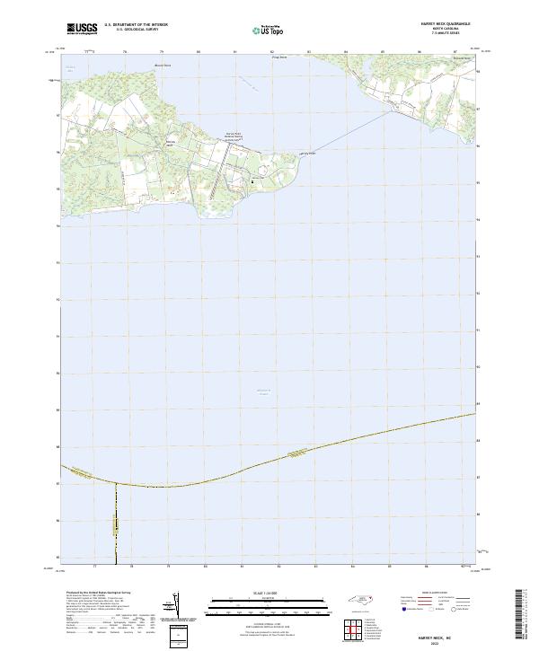
2022 Harvey Neck
Perquimans County, NC
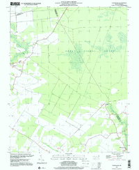
2022 Hobbsville
Perquimans County, NC
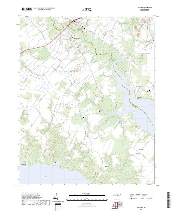
2022 Nixonton
Perquimans County, NC
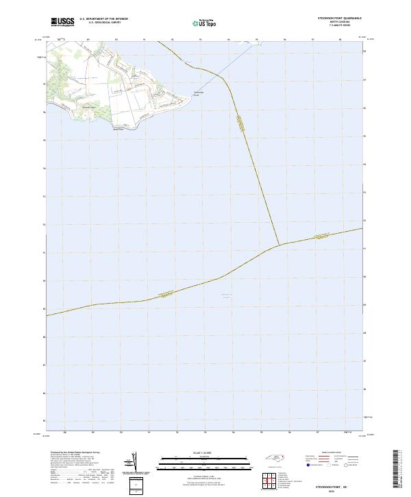
2022 Stevenson Point
Perquimans County, NC
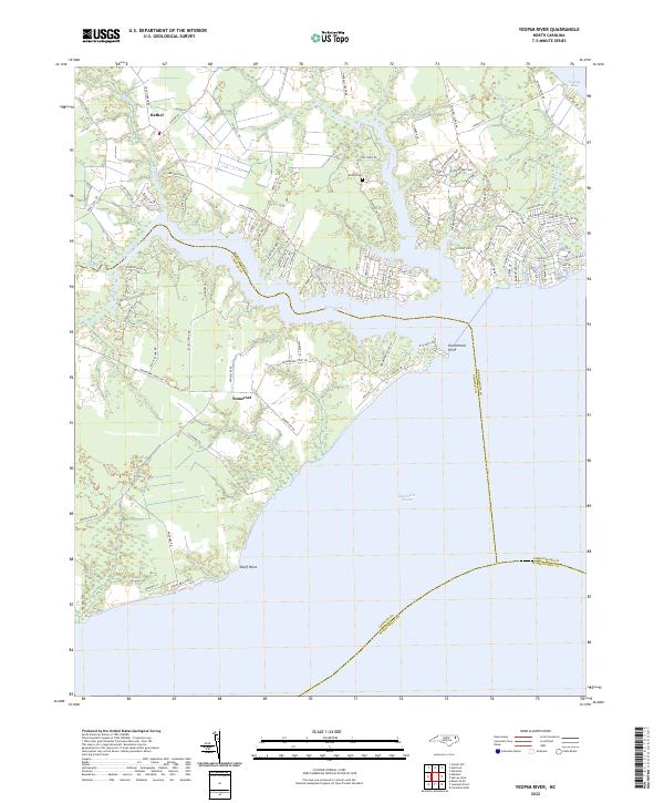
2022 Yeopim River
Perquimans County, NC