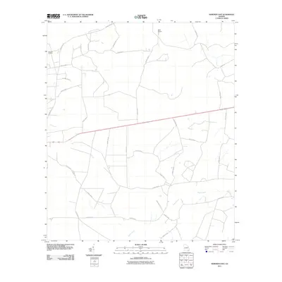
2011 Map of Hoboken East
USGS Topo · Published 2011About this map
Spring Hill Cemetery sits at the western edge of this landscape, a quiet marker of local genealogy within the wooded reaches of Brantley County. The terrain is defined by the winding course of Buffalo Creek in the south and the smaller drainage of Big Branch to the northwest. This area exhibits a transition from traditional rural routes like Raybon Rock Rd and Caney Bay Rd to the more structured grid of modern county roads. A slightly elevated rise known as Buck Island stands out in the north, contrasting with the lower riparian corridors. The map details a network of rural residences and connector roads such as Church St, reflecting the persistent patterns of South Georgia's agrarian and timber-linked settlement into the early twenty-first century.
Find a feature on this map
29 named features on this map. Tap any name to fly to it.
Don’t see what you’re looking for? This feature index may not catch every label — zoom into the map to look around manually.
Map Details
Editions of this 2011 Hoboken East Map
This is the sole edition of this map. No revisions or reprints were ever made.
Other maps of this area

1917 · Nahunta
USGS Topo · 1:62,500

1918 · Hortense
USGS Topo · 1:62,500

1918 · Nahunta
USGS Topo · 1:62,500

1944 · Hortense
USGS Topo · 1:62,500

1946 · Brunswick
USGS Topo · 1:250,000

1948 · Brunswick
USGS Topo · 1:250,000

1953 · Waycross
USGS Topo · 1:250,000

1956 · Brunswick
USGS Topo · 1:250,000

1958 · Waycross
USGS Topo · 1:250,000

1961 · Brunswick
USGS Topo · 1:250,000