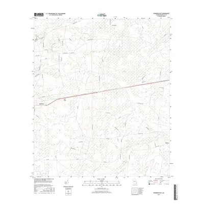
2017 Map of Hoboken East
USGS Topo · Published 2017About this map
Trail Ridge runs northwest-southeast through this part of Brantley County, a significant geological feature that historically influenced regional movement and drainage. The settlement of Hoboken is situated along this elevation, with its residential streets like Chicago Ave and Church St clearly mapped. The surrounding landscape is defined by an intricate network of wetlands and watercourses, including the massive Raulerson Swamp and Indian Swamp to the north, and Kneeknocker Swamp to the east. These low-lying areas drain into systems like Buffalo Creek, which winds through the southern portion of the sheet toward Hickox. Family-named landmarks such as Spring Hill Cem and numerous local roads, including Petty Crossing Rd and Raybon Rock Rd, provide essential reference points for those researching local lineage or the 21st-century configuration of this rural Georgia timber and agricultural region.
Find a feature on this map
60 named features on this map. Tap any name to fly to it.
Don’t see what you’re looking for? This feature index may not catch every label — zoom into the map to look around manually.
Map Details
Editions of this 2017 Hoboken East Map
This is the sole edition of this map. No revisions or reprints were ever made.
Other maps of this area

1917 · Nahunta
USGS Topo · 1:62,500

1918 · Hortense
USGS Topo · 1:62,500

1918 · Nahunta
USGS Topo · 1:62,500

1944 · Hortense
USGS Topo · 1:62,500

1946 · Brunswick
USGS Topo · 1:250,000

1948 · Brunswick
USGS Topo · 1:250,000

1953 · Waycross
USGS Topo · 1:250,000

1956 · Brunswick
USGS Topo · 1:250,000

1958 · Waycross
USGS Topo · 1:250,000

1961 · Brunswick
USGS Topo · 1:250,000