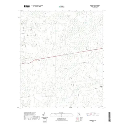
2020 Map of Hoboken East
USGS Topo · Published 2020About this map
Raulerson Swamp and Indian Swamp dominate the low-lying terrain of this corner of Brantley County, where the landscape is defined by its complex network of wetlands and drainage. The settlement of Hoboken sits at the western edge of the quadrangle, connected to Hickox in the southeast by a grid of rural roads and the prominent Corridor Z transit route. Rising above the surrounding wetlands, the Trail Ridge forms a significant geological feature, influencing the local hydrology and the placement of early routes.
Find a feature on this map
65 named features on this map. Tap any name to fly to it.
Don’t see what you’re looking for? This feature index may not catch every label — zoom into the map to look around manually.
Map Details
Editions of this 2020 Hoboken East Map
This is the sole edition of this map. No revisions or reprints were ever made.
Other maps of this area

1917 · Nahunta
USGS Topo · 1:62,500

1918 · Hortense
USGS Topo · 1:62,500

1918 · Nahunta
USGS Topo · 1:62,500

1944 · Hortense
USGS Topo · 1:62,500

1946 · Brunswick
USGS Topo · 1:250,000

1948 · Brunswick
USGS Topo · 1:250,000

1953 · Waycross
USGS Topo · 1:250,000

1956 · Brunswick
USGS Topo · 1:250,000

1958 · Waycross
USGS Topo · 1:250,000

1961 · Brunswick
USGS Topo · 1:250,000