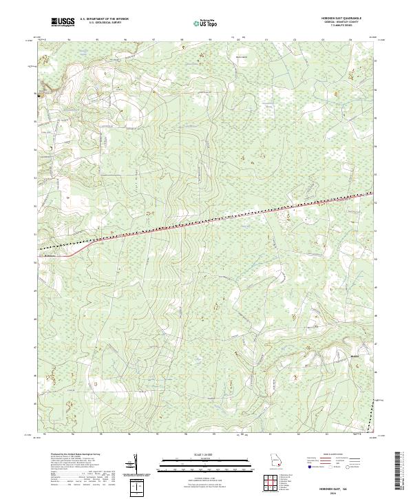
2024 Map of Hoboken East
USGS Topo · Published 2024About this map
Trail Ridge serves as the defining geographical spine for this corner of Brantley County, providing a slight elevation contrast to the low-lying wetlands that dominate the region. The landscape is a network of named swamps and bays, including Raulerson Swamp, Indian Swamp, and the interestingly named Kneeknocker Swamp, all draining toward Buffalo Creek in the south. These features dictated the placement of early settlements and roads, with the community of Hoboken anchoring the western edge of the sheet and Hickox situated to the southeast.
Find a feature on this map
65 named features on this map. Tap any name to fly to it.
Don’t see what you’re looking for? This feature index may not catch every label — zoom into the map to look around manually.
Map Details
Editions of this 2024 Hoboken East Map
This is the sole edition of this map. No revisions or reprints were ever made.
Other maps of this area

1917 · Nahunta
USGS Topo · 1:62,500

1918 · Hortense
USGS Topo · 1:62,500

1918 · Nahunta
USGS Topo · 1:62,500

1944 · Hortense
USGS Topo · 1:62,500

1946 · Brunswick
USGS Topo · 1:250,000

1948 · Brunswick
USGS Topo · 1:250,000

1953 · Waycross
USGS Topo · 1:250,000

1956 · Brunswick
USGS Topo · 1:250,000

1958 · Waycross
USGS Topo · 1:250,000

1961 · Brunswick
USGS Topo · 1:250,000