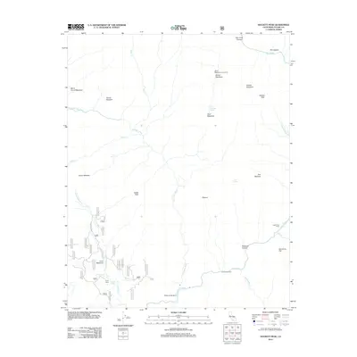
2012 Map of Hockett Peak
USGS Topo · Published 2012About this map
The Kern River and its upper tributaries dominate this portion of the Sierra Nevada, where high-altitude meadows and remote seasonal camps define the human presence. Near the southern confluence at Forks of the Kern, the landscape transitions from the steep walls of Deadman Canyon to the broader flats of Sacratone Flat. The distribution of backcountry infrastructure, including Pyles Camp and Willow Meadows Campground, indicates the area's long-standing utility for wilderness recreation and forest management.
Find a feature on this map
53 named features on this map. Tap any name to fly to it.
Don’t see what you’re looking for? This feature index may not catch every label — zoom into the map to look around manually.
Map Details
Editions of this 2012 Hockett Peak Map
This is the sole edition of this map. No revisions or reprints were ever made.
Other maps of this area

1904 · Kaweah
USGS Topo · 1:125,000

1905 · Olancha
USGS Topo · 1:125,000

1907 · Olancha
USGS Topo · 1:125,000

1909 · Kaweah
USGS Topo · 1:125,000

1937 · Kaweah
USGS Topo · 1:125,000

1948 · Fresno
USGS Topo · 1:250,000

1955 · Fresno
USGS Topo · 1:250,000

1956 · Fresno
USGS Topo · 1:250,000

1956 · Hockett Peak
USGS Topo · 1:62,500

1956 · Mineral King
USGS Topo · 1:62,500