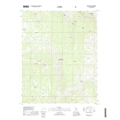
2018 Map of Hockett Peak
USGS Topo · Published 2018About this map
The Great Western Divide carves through this high-altitude landscape where the Sequoia National Forest and Inyo National Forest meet. This terrain is defined by the dramatic descent into Kern Canyon, where the Kern River flows through the eastern portion of the survey. Higher elevations are marked by a series of clearings and meadows that served as vital landmarks for early travelers and rangers, including Hockett Meadows and Trout Meadows. These openings, along with named springs like Soda Spring and Trout Meadows Spring, provide essential water sources in the granite-heavy environment of the Sierra Nevada. For researchers, the map details a network of forest routes, such as Forest Rte 22S82 and Lloyd Rd, which provide access to remote landmarks like Castle Rock and the broad expanse of Lloyd Meadows.
Find a feature on this map
46 named features on this map. Tap any name to fly to it.
Don’t see what you’re looking for? This feature index may not catch every label — zoom into the map to look around manually.
Map Details
Editions of this 2018 Hockett Peak Map
This is the sole edition of this map. No revisions or reprints were ever made.
Other maps of this area

1904 · Kaweah
USGS Topo · 1:125,000

1905 · Olancha
USGS Topo · 1:125,000

1907 · Olancha
USGS Topo · 1:125,000

1909 · Kaweah
USGS Topo · 1:125,000

1937 · Kaweah
USGS Topo · 1:125,000

1948 · Fresno
USGS Topo · 1:250,000

1955 · Fresno
USGS Topo · 1:250,000

1956 · Fresno
USGS Topo · 1:250,000

1956 · Hockett Peak
USGS Topo · 1:62,500

1956 · Mineral King
USGS Topo · 1:62,500