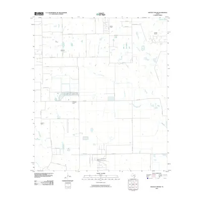
2010 Map of Hockley Mound
USGS Topo · Published 2010About this map
Hockley Mound serves as the namesake geographic anchor in this corner of Harris County, where the coastal prairie meets an increasingly organized grid of rural roads and homesteads. The landscape is defined by its water systems, notably Mound Creek, Snake Creek, and the headwaters of Cypress Creek, which drain the open country toward the southeast. For local historians, the presence of the Frey Cemetery and Warwarofsky Cemetery offers a connection to the families who established the area's agricultural foundations. The prevalence of private aviation facilities, including Skylake Airport, Pfeffer and Son Farms Airport, and Laas Farm Airport, illustrates a unique modern pattern of land use where farm operations and residential estates utilize personal runways alongside traditional ranching and farming tracts.
Find a feature on this map
39 named features on this map. Tap any name to fly to it.
Don’t see what you’re looking for? This feature index may not catch every label — zoom into the map to look around manually.
Map Details
Editions of this 2010 Hockley Mound Map
This is the sole edition of this map. No revisions or reprints were ever made.
Other maps of this area

1915 · Katy
USGS Topo · 1:24,000

1916 · Hockley
USGS Topo · 1:24,000

1916 · Swanson
USGS Topo · 1:24,000

1919 · Swanson
USGS Topo · 1:31,680

1920 · Hockley
USGS Topo · 1:31,680

1920 · Waller
USGS Topo · 1:31,680

1950 · Houston
USGS Topo · 1:250,000

1953 · Seguin
USGS Topo · 1:250,000

1954 · Beaumont
USGS Topo · 1:250,000

1954 · Austin
USGS Topo · 1:250,000