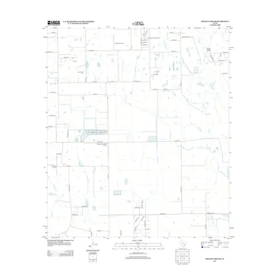
2013 Map of Hockley Mound
USGS Topo · Published 2013About this map
Hockley Mound rises as a prominent landmark in this prairie landscape of Harris County, where the transition from agriculture to recreational aviation is clearly visible. The region is defined by a series of private airfields and rural estates, including Skydive Houston Airport and Zadow Air Airport, reflecting a unique modern land-use pattern. For family historians, several burial grounds are preserved among the encroaching residential roads and farm tracks, such as Frey Cem and Warwarofsky Cem. A network of tributaries, most notably Cypress Creek, Mound Creek, and Live Oak Creek, drain the flat coastal terrain, dictated by the subtle elevation changes near Snake Creek. The road network, including Waller Rd and Rochen Rd, traces the long-established property boundaries of this section of Texas.
Find a feature on this map
65 named features on this map. Tap any name to fly to it.
Don’t see what you’re looking for? This feature index may not catch every label — zoom into the map to look around manually.
Map Details
Editions of this 2013 Hockley Mound Map
This is the sole edition of this map. No revisions or reprints were ever made.
Other maps of this area

1915 · Katy
USGS Topo · 1:24,000

1916 · Hockley
USGS Topo · 1:24,000

1916 · Swanson
USGS Topo · 1:24,000

1919 · Swanson
USGS Topo · 1:31,680

1920 · Hockley
USGS Topo · 1:31,680

1920 · Waller
USGS Topo · 1:31,680

1950 · Houston
USGS Topo · 1:250,000

1953 · Seguin
USGS Topo · 1:250,000

1954 · Beaumont
USGS Topo · 1:250,000

1954 · Austin
USGS Topo · 1:250,000