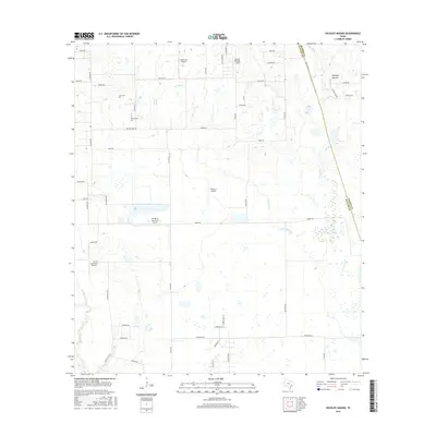
2016 Map of Hockley Mound
USGS Topo · Published 2016About this map
Hockley Mound serves as a prominent geographic anchor on the Waller and Harris County line, defining a landscape marked by small-scale aviation and agricultural heritage. The density of private landing strips, including Zadow Air Airport, Skydive Houston Airport, and Laas Farm Airport, reflects a modern era of rural transit and recreational flight. This network of runways is integrated into a terrain drained by the winding courses of Cypress Cr, Snake Cr, and Live Oak Cr, which cut through the coastal prairie. Genealogists can find localized historical records through the Frey Cem and Warwarofsky Cem, both situated near established rural corridors like Richard Frey Rd and Rochen Rd. The map illustrates the transition from traditional farming to specialized land use, as seen with Pfeffer & Son Farms Airport, while maintaining the original survey boundaries of the Waller and Harris counties.
Find a feature on this map
57 named features on this map. Tap any name to fly to it.
Don’t see what you’re looking for? This feature index may not catch every label — zoom into the map to look around manually.
Map Details
Editions of this 2016 Hockley Mound Map
This is the sole edition of this map. No revisions or reprints were ever made.
Other maps of this area

1915 · Katy
USGS Topo · 1:24,000

1916 · Hockley
USGS Topo · 1:24,000

1916 · Swanson
USGS Topo · 1:24,000

1919 · Swanson
USGS Topo · 1:31,680

1920 · Hockley
USGS Topo · 1:31,680

1920 · Waller
USGS Topo · 1:31,680

1950 · Houston
USGS Topo · 1:250,000

1953 · Seguin
USGS Topo · 1:250,000

1954 · Beaumont
USGS Topo · 1:250,000

1954 · Austin
USGS Topo · 1:250,000