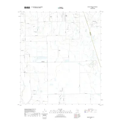
2019 Map of Hockley Mound
USGS Topo · Published 2019About this map
Hockley Mound rises above the prairie landscape along the Harris-Waller county line, serving as a primary topographic landmark in this rural expanse northwest of Houston. The area is defined by a network of seasonal drainages and creek beds, including Live Oak Creek, Snake Creek, and Cypress Creek, which meander through open acreage and farm tracts. Historically family-owned land is evidenced by the presence of small, private burial grounds like Frey Cemetery and Warwarofsky Cemetery, which offer valuable points of interest for genealogists tracing early settlers of the region.
Find a feature on this map
59 named features on this map. Tap any name to fly to it.
Don’t see what you’re looking for? This feature index may not catch every label — zoom into the map to look around manually.
Map Details
Editions of this 2019 Hockley Mound Map
This is the sole edition of this map. No revisions or reprints were ever made.
Other maps of this area

1915 · Katy
USGS Topo · 1:24,000

1916 · Hockley
USGS Topo · 1:24,000

1916 · Swanson
USGS Topo · 1:24,000

1919 · Swanson
USGS Topo · 1:31,680

1920 · Hockley
USGS Topo · 1:31,680

1920 · Waller
USGS Topo · 1:31,680

1950 · Houston
USGS Topo · 1:250,000

1953 · Seguin
USGS Topo · 1:250,000

1954 · Beaumont
USGS Topo · 1:250,000

1954 · Austin
USGS Topo · 1:250,000