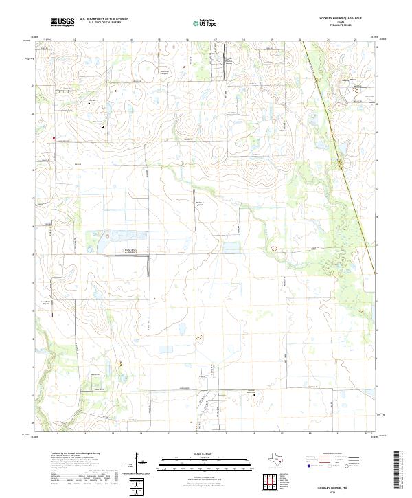
2022 Map of Hockley Mound
USGS Topo · Published 2022About this map
Hockley Mound rises above the low-lying prairie landscape northwest of Houston, serving as a prominent geographical landmark on the boundary between Waller and Harris counties. The area is characterized by a high concentration of private aviation facilities and agricultural homesteads, featuring sites like Zadow Air Airport and Pfeffer & Son Farms Airport.
Find a feature on this map
58 named features on this map. Tap any name to fly to it.
Don’t see what you’re looking for? This feature index may not catch every label — zoom into the map to look around manually.
Map Details
Editions of this 2022 Hockley Mound Map
This is the sole edition of this map. No revisions or reprints were ever made.
Other maps of this area

1915 · Katy
USGS Topo · 1:24,000

1916 · Hockley
USGS Topo · 1:24,000

1916 · Swanson
USGS Topo · 1:24,000

1919 · Swanson
USGS Topo · 1:31,680

1920 · Hockley
USGS Topo · 1:31,680

1920 · Waller
USGS Topo · 1:31,680

1950 · Houston
USGS Topo · 1:250,000

1953 · Seguin
USGS Topo · 1:250,000

1954 · Beaumont
USGS Topo · 1:250,000

1954 · Austin
USGS Topo · 1:250,000