
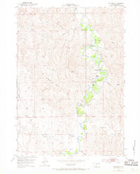
1953 Map of Hoe Ranch
USGS Topo · Published 1954About this map
The Powder River meanders through this portion of Johnson County, defining a landscape of riparian corridors and arid draws. Published by the United States Geological Survey in cooperation with the United States Atomic Energy Commission, the map documents the working geography of the early 1950s. This period of ranching and early mineral interest is evident in the presence of Falxa Camp, Irigaray Ranch, and the Hoe Ranch (Historical Site).
Find a feature on this map
20 named features on this map. Tap any name to fly to it.
Don’t see what you’re looking for? This feature index may not catch every label — zoom into the map to look around manually.
Map Details
Editions of this 1953 Hoe Ranch Map
3 editions found
Other maps of this area

1953 · Fort Reno
USGS Topo · 1:24,000

1953 · Fort Reno SE
USGS Topo · 1:24,000

1953 · The Nipple
USGS Topo · 1:24,000

1955 · Sheridan
USGS Topo · 1:250,000

1955 · Arminto
USGS Topo · 1:250,000

1958 · Sheridan
USGS Topo · 1:250,000

1958 · Arminto
USGS Topo · 1:250,000

1961 · Soldier Creek
USGS Topo · 1:24,000

1961 · Provence Ranch
USGS Topo · 1:24,000

1962 · Sheridan
USGS Topo · 1:250,000