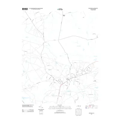
2013 Map of Hoffman
USGS Topo · Published 2013About this map
The town of Hoffman serves as the central hub for this portion of the North Carolina Sandhills, characterized by a dense network of blackwater creeks and managed natural areas. To the southeast, the Camp Mackall Mil Res and the Mackall Army Airfield define the landscape, reflecting the region's long-standing military significance. The local economy and geography are further shaped by the Seaboard St rail corridor which passes directly through the settlement center.
Find a feature on this map
97 named features on this map. Tap any name to fly to it.
Don’t see what you’re looking for? This feature index may not catch every label — zoom into the map to look around manually.
Map Details
Editions of this 2013 Hoffman Map
This is the sole edition of this map. No revisions or reprints were ever made.
Other maps of this area

1942 · Troy
USGS Topo · 1:125,000

1942 · Rockingham
USGS Topo · 1:125,000

1948 · Southern Pines
USGS Topo · 1:62,500

1948 · Pinebluff
USGS Topo · 1:24,000

1949 · Millstone Lake
USGS Topo · 1:24,000

1949 · Silver Hill
USGS Topo · 1:24,000

1949 · West End
USGS Topo · 1:24,000

1949 · Hoffman
USGS Topo · 1:24,000

1949 · Marston
USGS Topo · 1:24,000

1949 · Hamlet
USGS Topo · 1:24,000