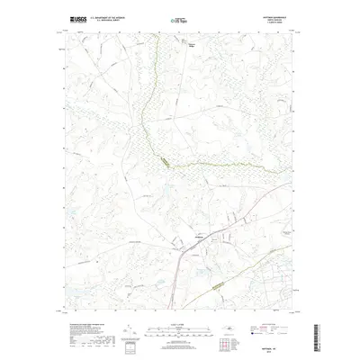
2019 Map of Hoffman
USGS Topo · Published 2019About this map
Hoffman serves as the central hub of this Sandhills landscape, where the town's street grid meets the Seaboard St railroad corridor. The area is defined by a dense network of water bodies and swamps, including Drowning Cr which forms the boundary between Richmond and Moore Counties, and the expansive McKinney Lake to the southwest. The presence of Mackall Army Airfield in the east indicates the region's significance for military operations, while the surrounding terrain is marked by distinct features like Narrow Ridge. Genealogists will find several burial sites noted, including Blue Cem near the town center and the Taylor Memorial Cem to the north. The landscape is further characterized by numerous small lakes such as Indian Camp Lake, Crappie Lake, and Broadacres Lakes, reflecting a geography shaped by managed water and timberlands.
Find a feature on this map
66 named features on this map. Tap any name to fly to it.
Don’t see what you’re looking for? This feature index may not catch every label — zoom into the map to look around manually.
Map Details
Editions of this 2019 Hoffman Map
This is the sole edition of this map. No revisions or reprints were ever made.
Other maps of this area

1942 · Troy
USGS Topo · 1:125,000

1942 · Rockingham
USGS Topo · 1:125,000

1948 · Southern Pines
USGS Topo · 1:62,500

1948 · Pinebluff
USGS Topo · 1:24,000

1949 · Millstone Lake
USGS Topo · 1:24,000

1949 · Silver Hill
USGS Topo · 1:24,000

1949 · West End
USGS Topo · 1:24,000

1949 · Hoffman
USGS Topo · 1:24,000

1949 · Marston
USGS Topo · 1:24,000

1949 · Hamlet
USGS Topo · 1:24,000