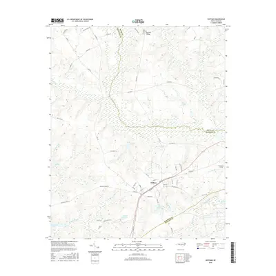
1976 Map of Hoffman
USGS Topo · Published 1978About this map
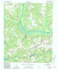
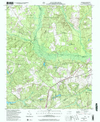
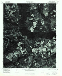
Hoffman anchors the southeastern portion of this orthophotoquad, where the Seaboard Coast Line railroad cuts a straight line through the Richmond County timberlands. The 1976 aerial imagery reveals a landscape defined by industrial forestry and agriculture, with clear-cut patches and managed stands of trees creating a patchwork across the terrain. Water drainage for the region is dominated by the heavily wooded corridors of Drowning Creek and Horse Creek, which wind through the center and eastern portions of the map. This photographic record captures the intersection of North Carolina's rural rail economy and the expansive natural resources that shaped the development of the Sandhills region during the late twentieth century.
Find a feature on this map
4 named features on this map. Tap any name to fly to it.
Don’t see what you’re looking for? This feature index may not catch every label — zoom into the map to look around manually.
Map Details
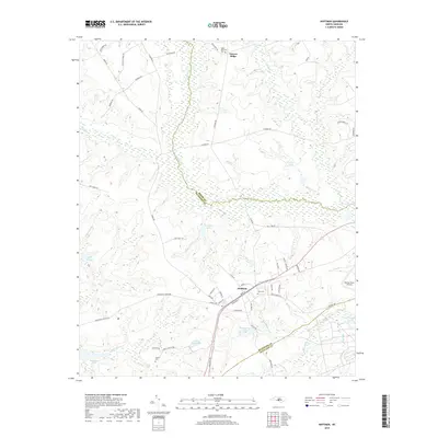
Editions of this 1976 Hoffman Map
This is the sole edition of this map. No revisions or reprints were ever made.
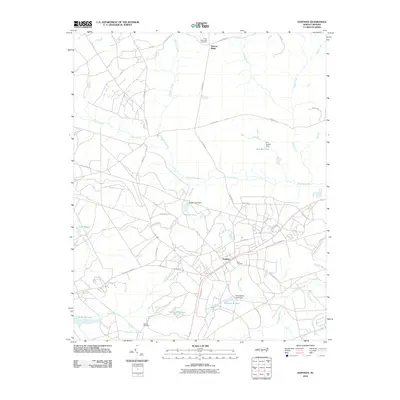
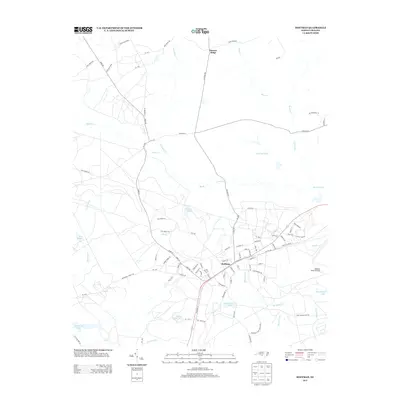
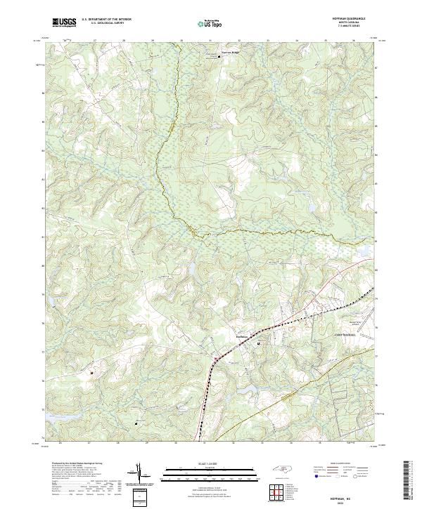
Historical Maps of Hoffman Through Time
8 maps found