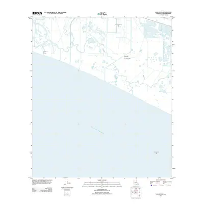
2012 Map of Hog Bayou
USGS Topo · Published 2012About this map
The low-lying coastal marshes of Cameron Parish are defined here by a complex network of wetlands and industrial extraction points along the Gulf of Mexico. The landscape is dominated by tidal waterways like Hog Bayou and Club Canal, which navigate between shallow bodies of water including Crab Lake and First Lake. The area's economic character is clearly illustrated by the systematic distribution of energy resources, notably the Hog Bayou Oil and Gas Field and the South Grand Chenier Gas Field.
Find a feature on this map
11 named features on this map. Tap any name to fly to it.
Don’t see what you’re looking for? This feature index may not catch every label — zoom into the map to look around manually.
Map Details
Editions of this 2012 Hog Bayou Map
This is the sole edition of this map. No revisions or reprints were ever made.
Other maps of this area

1934 · Catfish Lake
USGS Topo · 1:24,000

1935 · Catfish Lake
USGS Topo · 1:31,680

1935 · Bay Labauve
USGS Topo · 1:31,680

1935 · Grand Chenier
USGS Topo · 1:31,680

1946 · Hog Bayou NE
USGS Topo · 1:31,680

1946 · Hog Bayou NW
USGS Topo · 1:31,680
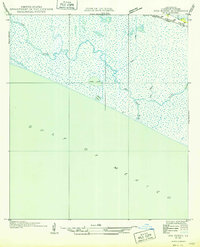
1949 · Hog Bayou NW
USGS Topo · 1:31,680

1949 · Hog Bayou NE
USGS Topo · 1:31,680

1954 · Port Arthur
USGS Topo · 1:250,000
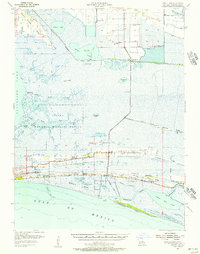
1955 · Sweet Lake
USGS Topo · 1:62,500