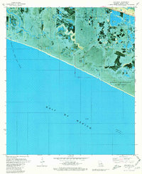
1979 Map of Hog Bayou
USGS Topo · Published 1980About this map
Grand Chenier Ridge stands as a prominent elevation point above the marshy lowlands of coastal Cameron Parish. This 1970s orthophotomap provides a clear view of the complex interaction between industrial extraction and environmental conservation along the Louisiana shoreline. The southern portion is dominated by the Gulf of Mexico, while the interior is a network of waterways and extraction infrastructure including the Hog Bayou Oil and Gas Field and the South Grand Chenier Gas Field.
Find a feature on this map
18 named features on this map. Tap any name to fly to it.
Don’t see what you’re looking for? This feature index may not catch every label — zoom into the map to look around manually.
Map Details
Editions of this 1979 Hog Bayou Map
This is the sole edition of this map. No revisions or reprints were ever made.
Other maps of this area

1934 · Catfish Lake
USGS Topo · 1:24,000

1935 · Catfish Lake
USGS Topo · 1:31,680

1935 · Bay Labauve
USGS Topo · 1:31,680

1935 · Grand Chenier
USGS Topo · 1:31,680

1946 · Hog Bayou NE
USGS Topo · 1:31,680

1946 · Hog Bayou NW
USGS Topo · 1:31,680
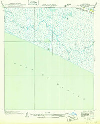
1949 · Hog Bayou NW
USGS Topo · 1:31,680

1949 · Hog Bayou NE
USGS Topo · 1:31,680

1954 · Port Arthur
USGS Topo · 1:250,000
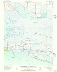
1955 · Sweet Lake
USGS Topo · 1:62,500