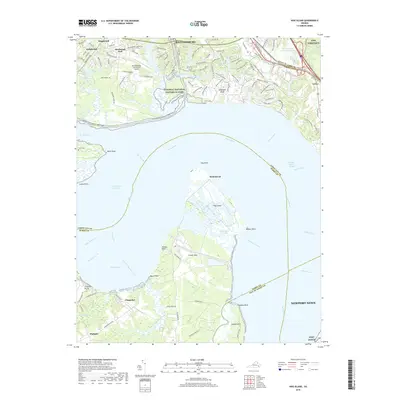
2019 Map of Hog Island
USGS Topo · Published 2019About this map
Hog Island and its surrounding waterways define this maritime corridor of the James River, where the boundaries of Surry, James City, and Isle of Wight counties meet. The landscape is a transition from the historic preservation of the Colonial National Historical Park and the Colonial National Historic Pkwy in the north to the agricultural and recreational reaches of Chippokes in the south. Notable infrastructure includes the Williamsburg-Jamestown Airport and tactical proximity to NWS Yorktown and Fort Eustis.
Find a feature on this map
75 named features on this map. Tap any name to fly to it.
Don’t see what you’re looking for? This feature index may not catch every label — zoom into the map to look around manually.
Map Details
Editions of this 2019 Hog Island Map
This is the sole edition of this map. No revisions or reprints were ever made.
Other maps of this area

1906 · Williamsburg
USGS Topo · 1:62,500

1907 · Yorktown
USGS Topo · 1:62,500

1917 · Toano
USGS Topo · 1:62,500

1918 · Toano
USGS Topo · 1:62,500

1919 · Surry
USGS Topo · 1:62,500

1943 · Yorktown
USGS Topo · 1:62,500

1943 · Richmond
USGS Topo · 1:250,000

1944 · Yorktown
USGS Topo · 1:24,000
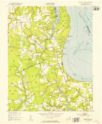
1948 · Bacons Castle
USGS Topo · 1:24,000

1949 · Richmond
USGS Topo · 1:250,000