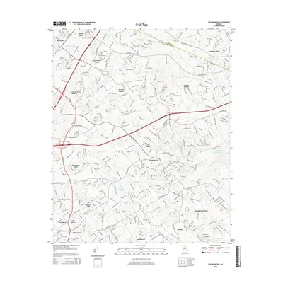
2014 Map of Hog Mountain
USGS Topo · Published 2014About this map
Hog Mountain serves as a geographic centerpiece for this Gwinnett County region, where the headwaters of the Apalachee River and Little Mulberry River begin their southeastward flow. This 2014 survey captures a period of intense suburban residential growth, with dozens of named subdivisions like Habersham Hills and Sardis Estates filling the spaces between the older crossroads. The local infrastructure reflects this modern shift, anchored by the massive Mall of Georgia complex near the Buford city limits.
Find a feature on this map
290 named features on this map. Tap any name to fly to it.
Don’t see what you’re looking for? This feature index may not catch every label — zoom into the map to look around manually.
Map Details
Editions of this 2014 Hog Mountain Map
This is the sole edition of this map. No revisions or reprints were ever made.
Other maps of this area

1888 · Atlanta
USGS Topo · 1:125,000

1890 · Suwanee
USGS Topo · 1:125,000

1890 · Atlanta
USGS Topo · 1:125,000

1891 · Gainesville
USGS Topo · 1:125,000

1892 · Atlanta
USGS Topo · 1:125,000

1894 · Suwanee
USGS Topo · 1:125,000

1895 · Atlanta
USGS Topo · 1:125,000

1896 · Monroe
USGS Topo · 1:125,000

1953 · Atlanta
USGS Topo · 1:250,000

1953 · Athens
USGS Topo · 1:250,000