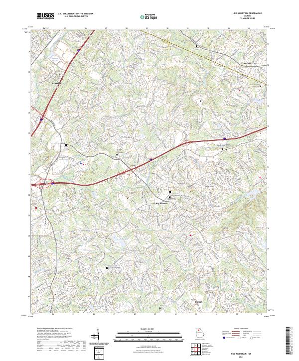
2024 Map of Hog Mountain
USGS Topo · Published 2024About this map
The Hog Mountain area of Gwinnett Co reveals a landscape defined by its significant ridge lines and the headwaters of several major Georgia river systems. At this elevation, the waters divide toward the Apalachee, Alcovy, and Yellow basins. The community of Hog Mountain itself serves as a central hub, evidenced by the clustered burial grounds including Hog Mountain Church Cem Old and Hog Mountain Church Cem New.
Find a feature on this map
43 named features on this map. Tap any name to fly to it.
Don’t see what you’re looking for? This feature index may not catch every label — zoom into the map to look around manually.
Map Details
Editions of this 2024 Hog Mountain Map
This is the sole edition of this map. No revisions or reprints were ever made.
Other maps of this area

1888 · Atlanta
USGS Topo · 1:125,000

1890 · Suwanee
USGS Topo · 1:125,000

1890 · Atlanta
USGS Topo · 1:125,000

1891 · Gainesville
USGS Topo · 1:125,000

1892 · Atlanta
USGS Topo · 1:125,000

1894 · Suwanee
USGS Topo · 1:125,000

1895 · Atlanta
USGS Topo · 1:125,000

1896 · Monroe
USGS Topo · 1:125,000

1953 · Atlanta
USGS Topo · 1:250,000

1953 · Athens
USGS Topo · 1:250,000