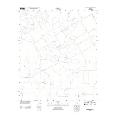
2012 Map of Hog Mountain
USGS Topo · Published 2012About this map
Marie sits as a central point of reference in this landscape of the Texas Rolling Plains, where agricultural land and ranching interests are etched into a grid of county roads. The terrain is defined by natural drainage systems and low-lying elevations, most notably the prominent Hog Mtn in the southwest and the winding paths of Oak Cr and Hog Cr. These waterways, along with Wagon Tire Cr, dictate the placement of ranch boundaries and early transportation routes.
Find a feature on this map
35 named features on this map. Tap any name to fly to it.
Don’t see what you’re looking for? This feature index may not catch every label — zoom into the map to look around manually.
Map Details
Editions of this 2012 Hog Mountain Map
This is the sole edition of this map. No revisions or reprints were ever made.
Other maps of this area

1891 · Hayrick
USGS Topo · 1:125,000

1893 · Sweetwater
USGS Topo · 1:125,000

1894 · Hayrick
USGS Topo · 1:125,000

1921 · Bronte
USGS Topo · 1:31,680

1921 · Maverick
USGS Topo · 1:31,680

1921 · Quarry Creek
USGS Topo · 1:31,680

1921 · Mays School
USGS Topo · 1:31,680

1954 · Big Spring
USGS Topo · 1:250,000

1954 · San Angelo
USGS Topo · 1:250,000

1958 · San Angelo
USGS Topo · 1:250,000