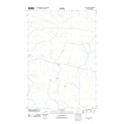
2011 Map of Hogan Creek
USGS Topo · Published 2011About this map
Locate Creek and its many seasonal tributaries define this expansive section of Custer County, where the ranching economy is etched into the landscape through water management. The area is characterized by a network of drainage systems including Snow Creek, Hogan Creek, and Meyers Creek, which feed into localized catchments. Human presence is centered on the Bradshaw Ranch near the western edge, while the interior is marked by critical infrastructure like Perkins Dam, Crowbar Dam, and the evocatively named Dead Cow Reservoir.
Find a feature on this map
14 named features on this map. Tap any name to fly to it.
Don’t see what you’re looking for? This feature index may not catch every label — zoom into the map to look around manually.
Map Details
Editions of this 2011 Hogan Creek Map
This is the sole edition of this map. No revisions or reprints were ever made.
Other maps of this area

1953 · Miles City
USGS Topo · 1:250,000

1957 · Miles City
USGS Topo · 1:250,000

1958 · Miles City
USGS Topo · 1:250,000

1969 · Little Whitney Creek
USGS Topo · 1:24,000

1969 · Spring Draw
USGS Topo · 1:24,000

1969 · Knowlton
USGS Topo · 1:24,000

1969 · Hogan Creek
USGS Topo · 1:24,000

1969 · Locate SE
USGS Topo · 1:24,000

1969 · Montague Butte
USGS Topo · 1:24,000

1969 · Flat Top Butte SW
USGS Topo · 1:24,000