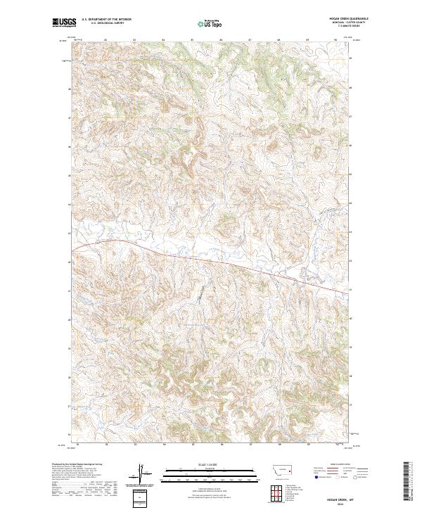
2024 Map of Hogan Creek
USGS Topo · Published 2024About this map
Dead Cow Reservoir sits at the heart of this high plains landscape in eastern Montana, reflecting a region defined by its vital drainage systems and sparse transportation network. The terrain is carved by numerous watercourses, most notably Locate Creek and Hogan Creek, which dictate the flow of the land through deep-cut coulees and draws like Johnnies Gulch.
Find a feature on this map
18 named features on this map. Tap any name to fly to it.
Don’t see what you’re looking for? This feature index may not catch every label — zoom into the map to look around manually.
Map Details
Editions of this 2024 Hogan Creek Map
This is the sole edition of this map. No revisions or reprints were ever made.
Other maps of this area

1953 · Miles City
USGS Topo · 1:250,000

1957 · Miles City
USGS Topo · 1:250,000

1958 · Miles City
USGS Topo · 1:250,000

1969 · Little Whitney Creek
USGS Topo · 1:24,000

1969 · Spring Draw
USGS Topo · 1:24,000

1969 · Knowlton
USGS Topo · 1:24,000

1969 · Hogan Creek
USGS Topo · 1:24,000

1969 · Locate SE
USGS Topo · 1:24,000

1969 · Montague Butte
USGS Topo · 1:24,000

1969 · Flat Top Butte SW
USGS Topo · 1:24,000