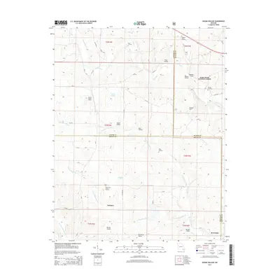
2015 Map of Hogan Hollow
USGS Topo · Published 2015About this map
Budapest and Beaverdam anchor this Ozark landscape at the intersection of Carter, Butler, and Ripley Counties. The terrain is defined by a dense network of hollows, including Hogan Hollow, Big Spring Hollow, and Beehole Hollow, which drain into the many prongs of the Beaverdam Cr and Tenmile Cr. The presence of several family-named burial grounds, such as Scott Cemetery, Margaret Trainor Cemetery, and Kearbey Cemetery, points to the deep-rooted settlement history of these wooded hills.
Find a feature on this map
47 named features on this map. Tap any name to fly to it.
Don’t see what you’re looking for? This feature index may not catch every label — zoom into the map to look around manually.
Map Details
Editions of this 2015 Hogan Hollow Map
This is the sole edition of this map. No revisions or reprints were ever made.
Other maps of this area

1934 · Williamsville
USGS Topo · 1:48,000

1935 · Acorn
USGS Topo · 1:62,500

1939 · Doniphan
USGS Topo · 1:62,500

1940 · Williamsville
USGS Topo · 1:62,500

1940 · Naylor
USGS Topo · 1:62,500

1944 · Naylor
USGS Topo · 1:62,500

1944 · Grandin
USGS Topo · 1:62,500

1945 · Doniphan
USGS Topo · 1:62,500

1946 · Grandin
USGS Topo · 1:62,500

1957 · Poplar Bluff
USGS Topo · 1:250,000