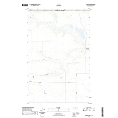
2020 Map of Hogeland NW
USGS Topo · Published 2020About this map
Silver Bow Cem sits near the junction of Silverbow Rd and Northstar Rd, marking a quiet point of historical interest in this northern Blaine County landscape. The area is defined by the complex drainage of the Woody Island Coulee, which carves through the prairie towards the north. Essential infrastructure for the region's rural travel is noted at the Woody Island Coulee Bridge, where the coulee meets the local road network.
Find a feature on this map
17 named features on this map. Tap any name to fly to it.
Don’t see what you’re looking for? This feature index may not catch every label — zoom into the map to look around manually.
Map Details
Editions of this 2020 Hogeland NW Map
This is the sole edition of this map. No revisions or reprints were ever made.
Other maps of this area

1913 · Cherry Ridge
USGS Topo · 1:125,000

1953 · Havre
USGS Topo · 1:250,000

1957 · Havre
USGS Topo · 1:250,000

1958 · Havre
USGS Topo · 1:250,000

1984 · Hogeland SE
USGS Topo · 1:24,000
1984 · Hogeland
USGS Topo · 1:24,000
1984 · Aubrey Dam
USGS Topo · 1:24,000
1984 · Silver Bow Spring
USGS Topo · 1:24,000
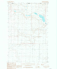
1984 · Hogeland NW
USGS Topo · 1:24,000
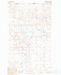
1984 · Mosquito Springs
USGS Topo · 1:24,000