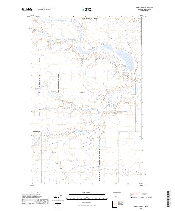
2024 Map of Hogeland NW
USGS Topo · Published 2024About this map
Silver Bow Cem sits as a solitary historic anchor in this sparsely populated stretch of Blaine County, Montana, just south of the border with the United States of America. The landscape is defined by the ephemeral waters of Alkali Lake in the northeast and the meandering path of Woody Island Creek, which cuts through the township lines of T37N R23E and T36N R23E. This 2024 survey reflects a rugged agricultural and ranching environment, where long-established section lines are traced by a network of gravel routes including Silverbow Rd, Frenchy Rd, and Northstar Rd. The settlement pattern is strictly rural, marked by isolated homesteads and local identifiers like Michalson and Polock Ave, documenting the persistence of family-named landmarks in the Big Sky country.
Find a feature on this map
15 named features on this map. Tap any name to fly to it.
Don’t see what you’re looking for? This feature index may not catch every label — zoom into the map to look around manually.
Map Details
Editions of this 2024 Hogeland NW Map
This is the sole edition of this map. No revisions or reprints were ever made.
Other maps of this area

1913 · Cherry Ridge
USGS Topo · 1:125,000

1953 · Havre
USGS Topo · 1:250,000

1957 · Havre
USGS Topo · 1:250,000

1958 · Havre
USGS Topo · 1:250,000

1984 · Hogeland SE
USGS Topo · 1:24,000
1984 · Hogeland
USGS Topo · 1:24,000
1984 · Aubrey Dam
USGS Topo · 1:24,000
1984 · Silver Bow Spring
USGS Topo · 1:24,000
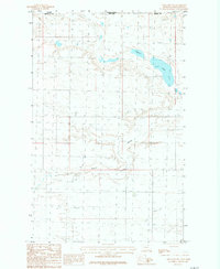
1984 · Hogeland NW
USGS Topo · 1:24,000
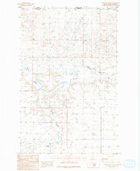
1984 · Mosquito Springs
USGS Topo · 1:24,000