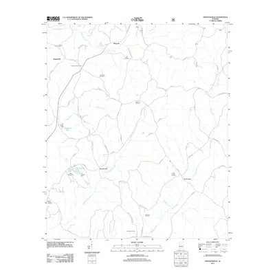
2011 Map of Hogglesville
USGS Topo · Published 2011About this map
Hogglesville and the surrounding rural landscapes of Perry County are defined by a network of family-named cemeteries and winding watercourses. This survey highlights the deep genealogical roots of the area through sites such as Old Shiloh Cemetery, New Shiloh Cemetery, and Providence Cemetery. The terrain is drained by Fivemile Creek in the north and the complex system of Little Brush Creek and Brush Creek farther south, which once supported small-scale local impoundments like Joe Glover Lake and J B Thomas Lake.
Find a feature on this map
59 named features on this map. Tap any name to fly to it.
Don’t see what you’re looking for? This feature index may not catch every label — zoom into the map to look around manually.
Map Details
Editions of this 2011 Hogglesville Map
This is the sole edition of this map. No revisions or reprints were ever made.
Other maps of this area

1953 · Montgomery
USGS Topo · 1:250,000

1956 · Montgomery
USGS Topo · 1:250,000

1957 · Montgomery
USGS Topo · 1:250,000

1979 · Marion North
USGS Topo · 1:24,000

1979 · Morgan Springs
USGS Topo · 1:24,000

1979 · Greensboro
USGS Topo · 1:24,000

1979 · Pondville
USGS Topo · 1:24,000

1980 · Payne Lake
USGS Topo · 1:24,000

1980 · Ingram
USGS Topo · 1:24,000
1980 · Hogglesville
USGS Topo · 1:24,000