
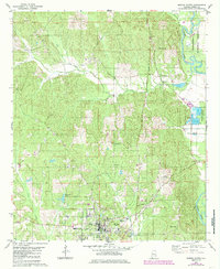
1979 Map of Marion North
USGS Topo · Published 1980About this map
Marion serves as the focal point of this late-1970s landscape, where the northern residential and institutional edges of the town meet the rural hills of Perry County. The campus of Judson College sits prominently on the southern edge, while the town's infrastructure, including the Waterworks and Sew Disp Pond, reflects mid-century utility planning. To the north and east, the terrain transitions into the protected timberlands of the Talladega National Forest, bounded by the winding course of the Cahaba River.
Find a feature on this map
32 named features on this map. Tap any name to fly to it.
Don’t see what you’re looking for? This feature index may not catch every label — zoom into the map to look around manually.
Map Details
Editions of this 1979 Marion North Map
2 editions found
Other maps of this area

1953 · Montgomery
USGS Topo · 1:250,000

1956 · Montgomery
USGS Topo · 1:250,000

1957 · Montgomery
USGS Topo · 1:250,000

1959 · Summerfield
USGS Topo · 1:62,500

1975 · Summerfield SW
USGS Topo · 1:24,000

1979 · Scott Station
USGS Topo · 1:24,000

1979 · Morgan Springs
USGS Topo · 1:24,000

1979 · Marion South
USGS Topo · 1:24,000

1979 · Harrisburg
USGS Topo · 1:24,000
1980 · Hogglesville
USGS Topo · 1:24,000