
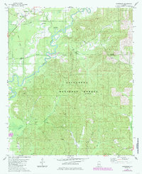
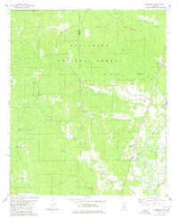
1979 Map of Harrisburg
USGS Topo · Published 1980About this map
Talladega National Forest encompasses a significant portion of this terrain, where the meandering Cahaba River forms the central drainage corridor. The landscape is dotted with several rural religious and community landmarks, such as Antioch Ch, Lilly Hill Ch, and Paynes Chapel. Many of these features, alongside Paynes Cem and Mt Gilead Cem, reflect the settled family history of the Harrisburg area before the late 20th century. The presence of the Cahaba Lookout Tower and multiple Gravel Pits suggests a mix of federal land management and local extraction industries. Waterways like Blue Girth Creek and Potato Patch Creek cut through the forest, defining the topography of the Bibb and Perry County border region.
Find a feature on this map
30 named features on this map. Tap any name to fly to it.
Don’t see what you’re looking for? This feature index may not catch every label — zoom into the map to look around manually.
Map Details
Editions of this 1979 Harrisburg Map
2 editions found
Other maps of this area

1953 · Montgomery
USGS Topo · 1:250,000

1956 · Montgomery
USGS Topo · 1:250,000

1957 · Montgomery
USGS Topo · 1:250,000

1959 · Summerfield
USGS Topo · 1:62,500

1979 · Marion North
USGS Topo · 1:24,000

1979 · Pondville
USGS Topo · 1:24,000
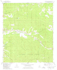
1980 · Centreville East
USGS Topo · 1:24,000
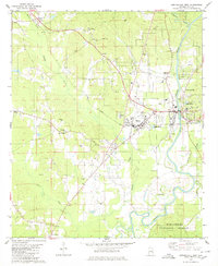
1980 · Centreville West
USGS Topo · 1:24,000
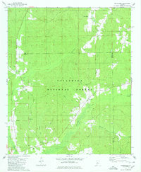
1980 · Oakmulgee
USGS Topo · 1:24,000
1980 · Heiberger
USGS Topo · 1:24,000