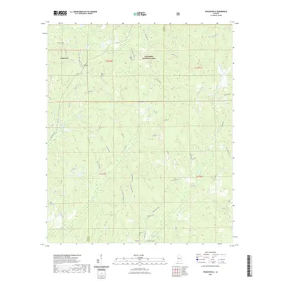
2021 Map of Hogglesville
USGS Topo · Published 2021About this map
Hogglesville and the surrounding woodlands of the Talladega National Forest define this area at the boundary of Hale and Perry Counties. The landscape is characterized by a high density of small rural cemeteries, including Old Shiloh Cem, New Shiloh Cem, and Waycross Cem, which speak to the long-standing family lineages and community centers that have persisted through the decades. These burial grounds often represent the only remaining markers of historic rural gatherings, many of which are linked by winding local roads like Massengale Spr and Calhoun Rd. A complex network of waterways, including Big Brush Cr, Little Brush Cr, and Fivemile Cr, drains the hilly terrain, feeding into local landmarks like J B Thomas Lake and Joe Glover Lake.
Find a feature on this map
59 named features on this map. Tap any name to fly to it.
Don’t see what you’re looking for? This feature index may not catch every label — zoom into the map to look around manually.
Map Details
Editions of this 2021 Hogglesville Map
This is the sole edition of this map. No revisions or reprints were ever made.
Other maps of this area

1953 · Montgomery
USGS Topo · 1:250,000

1956 · Montgomery
USGS Topo · 1:250,000

1957 · Montgomery
USGS Topo · 1:250,000

1979 · Marion North
USGS Topo · 1:24,000

1979 · Morgan Springs
USGS Topo · 1:24,000

1979 · Greensboro
USGS Topo · 1:24,000

1979 · Pondville
USGS Topo · 1:24,000

1980 · Payne Lake
USGS Topo · 1:24,000

1980 · Ingram
USGS Topo · 1:24,000
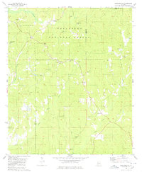
1980 · Hogglesville
USGS Topo · 1:24,000