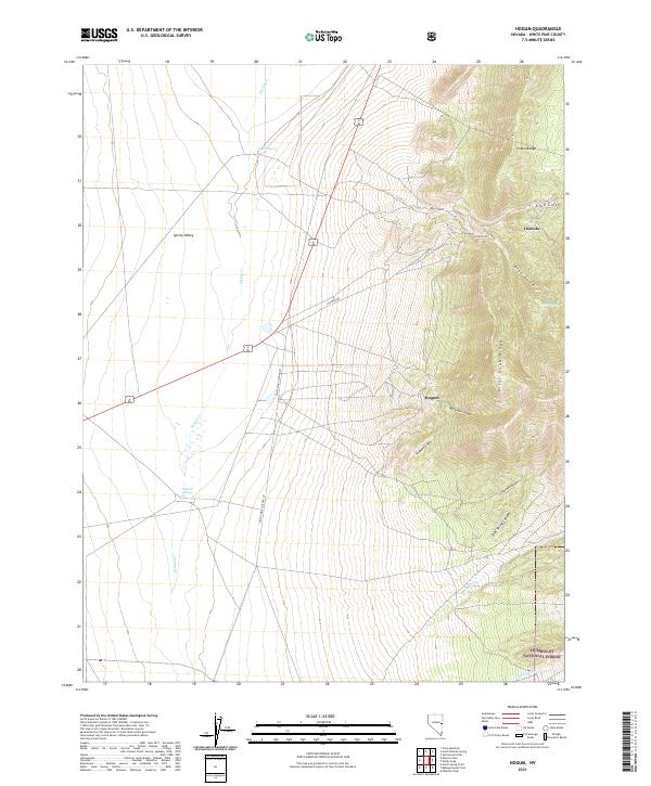
2021 Map of Hogum
USGS Topo · Published 2021About this map
The eastern slopes of the Snake Range define this high-altitude landscape, where the settlement of Osceola sits above a network of canyons and gulches. The terrain transitions sharply from the rugged heights of Pilot Knob Ridge down toward the broad expanse of Spring Valley. This area is characterized by a complex drainage system including Serpent Gulch, Mary Ann Canyon, and Grub Gulch, which channel seasonal water toward the valley floor.
Find a feature on this map
27 named features on this map. Tap any name to fly to it.
Don’t see what you’re looking for? This feature index may not catch every label — zoom into the map to look around manually.
Map Details
Editions of this 2021 Hogum Map
This is the sole edition of this map. No revisions or reprints were ever made.
Other maps of this area

1948 · Wheeler Peak
USGS Topo · 1:62,500

1950 · Wheeler Peak
USGS Topo · 1:62,500

1952 · Ely
USGS Topo · 1:125,000

1956 · Lund
USGS Topo · 1:250,000

1956 · Ely
USGS Topo · 1:250,000

1959 · Ely
USGS Topo · 1:250,000

1959 · Sacramento Pass
USGS Topo · 1:62,500

1959 · Connors Pass
USGS Topo · 1:62,500

1960 · Lund
USGS Topo · 1:250,000

1963 · Ely
USGS Topo · 1:250,000