
1969 Map of Hogup Bar
USGS Topo · Published 1973About this map
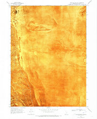
The Old Central Pacific railroad grade cuts through this high desert terrain in Box Elder County, marking the historic path of the first transcontinental rail line. The landscape is defined by the massive Hogup Mountains and the distinct geological feature of Hogup Bar to the northeast. Water management in this arid environment is evident through the Sinks of Dove Creek and the strategically placed Government Well. The 1960s infrastructure is visible in the form of a Landing Strip, a Radio Facility, and isolated ranching features like a Corral and Storage Bin. This orthophotomap provides a rare hybrid view, overlaying topographic contours and historic transit routes directly onto the photographic texture of the Utah desert floor.
Find a feature on this map
10 named features on this map. Tap any name to fly to it.
Don’t see what you’re looking for? This feature index may not catch every label — zoom into the map to look around manually.
Map Details
Editions of this 1969 Hogup Bar Map
This is the sole edition of this map. No revisions or reprints were ever made.
Other maps of this area

1954 · Brigham City
USGS Topo · 1:250,000

1958 · Brigham City
USGS Topo · 1:250,000

1962 · Brigham City
USGS Topo · 1:250,000

1969 · Peplin Flats
USGS Topo · 1:24,000

1969 · Dolphin Island West
USGS Topo · 1:24,000

1969 · Crocodile Mtn NE
USGS Topo · 1:24,000
1969 · Crocodile Mtn SE
USGS Topo · 1:24,000

1971 · Matlin
USGS Topo · 1:24,000
1971 · Russian Knoll
USGS Topo · 1:24,000

1983 · Sheep Mountain
USGS Topo · 1:24,000