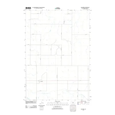
2012 Map of Holabird
USGS Topo · Published 2012About this map
Holabird serves as the central hub of this Hyde County landscape, situated along the east-west highway corridor that divides the township. The surrounding terrain is defined by a grid of rural roads, including several routes that converge near the settlement such as 327th Ave and 328th Ave. A notable exception to the rectilinear road network is the Holabird Grade, which meanders through the central and northern sections of the quadrangle. In the southern reaches, the S Fork Medicine Knoll Cr winds eastward, providing the primary natural drainage for this prairie environment. This 2012 survey illustrates the enduring agricultural structure of the region, where the placement of section lines like 198th St and 333rd Ave dictates the movement of people and commerce across the plains.
Find a feature on this map
17 named features on this map. Tap any name to fly to it.
Don’t see what you’re looking for? This feature index may not catch every label — zoom into the map to look around manually.
Map Details
Editions of this 2012 Holabird Map
This is the sole edition of this map. No revisions or reprints were ever made.
Other maps of this area

1949 · Mitchell Lake
USGS Topo · 1:24,000

1950 · Mitchell Lake
USGS Topo · 1:24,000

1950 · Highmore
USGS Topo · 1:24,000

1953 · Huron
USGS Topo · 1:250,000

1954 · Huron
USGS Topo · 1:250,000

1968 · Harrold NW
USGS Topo · 1:24,000

1968 · Harrold
USGS Topo · 1:24,000

1968 · Holabird
USGS Topo · 1:24,000

1968 · Harrold NE
USGS Topo · 1:24,000

1973 · Chapelle Lake
USGS Topo · 1:24,000