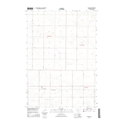
2015 Map of Holabird
USGS Topo · Published 2015About this map
Holabird serves as the primary focal point of this Hyde County landscape, situated along a section of the regional transportation corridor defined by Holabird Loop and Cr-649. The topography is characterized by the meandering drainage of S Fork Medicine Knoll Cr, which cuts through the southern portion of the quadrangle. This 2015 survey illustrates a highly organized section-line grid system, typical of the Great Plains, where numbered roads like 191st St and 334th Ave form the backbone of the rural infrastructure. The mapping detail preserves the late-twentieth and early-twenty-first-century layout of this agricultural region, documenting the relationship between the small settlement of Holabird and the surrounding prairie terrain defined by the Public Land Survey System boundaries of t113n r73w and t112n r72w.
Find a feature on this map
21 named features on this map. Tap any name to fly to it.
Don’t see what you’re looking for? This feature index may not catch every label — zoom into the map to look around manually.
Map Details
Editions of this 2015 Holabird Map
This is the sole edition of this map. No revisions or reprints were ever made.
Other maps of this area

1949 · Mitchell Lake
USGS Topo · 1:24,000

1950 · Mitchell Lake
USGS Topo · 1:24,000

1950 · Highmore
USGS Topo · 1:24,000

1953 · Huron
USGS Topo · 1:250,000

1954 · Huron
USGS Topo · 1:250,000

1968 · Harrold NW
USGS Topo · 1:24,000

1968 · Harrold
USGS Topo · 1:24,000

1968 · Holabird
USGS Topo · 1:24,000

1968 · Harrold NE
USGS Topo · 1:24,000

1973 · Chapelle Lake
USGS Topo · 1:24,000