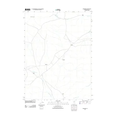
2012 Map of Holborn
USGS Topo · Published 2012About this map
The Windermere Hills overlook a high-desert landscape in Elko County, where the transportation and ranching history of northeastern Nevada is etched into the terrain. This area is anchored by the small settlements of Holborn and Fenelon, points along the rail corridor that has long served as a vital link across the Great Basin. Ranching operations are centered around reliable water sources like the Johnson Ranch, situated near the confluence of local drainages. The hydrology of the region is defined by intermittent systems such as Independence Creek and Barnet Springs Creek, supported by numerous named seeps including Upper Deadman Spring and Wollmon Spring. The presence of the Holborn Field airstrip and the Independence Valley Well further illustrates the infrastructure required to sustain life and commerce in this open rangeland.
Find a feature on this map
16 named features on this map. Tap any name to fly to it.
Don’t see what you’re looking for? This feature index may not catch every label — zoom into the map to look around manually.
Map Details
Editions of this 2012 Holborn Map
This is the sole edition of this map. No revisions or reprints were ever made.
Other maps of this area

1955 · Wells
USGS Topo · 1:250,000

1958 · Wells
USGS Topo · 1:250,000

1961 · Wells
USGS Topo · 1:250,000

1968 · Moor Summit
USGS Topo · 1:24,000

1968 · Holborn
USGS Topo · 1:24,000

1968 · Melandco
USGS Topo · 1:24,000

1968 · Pequop
USGS Topo · 1:24,000
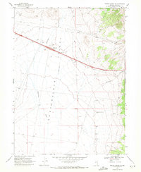
1968 · Pequop Summit SW
USGS Topo · 1:24,000

1968 · Wells Peak
USGS Topo · 1:24,000
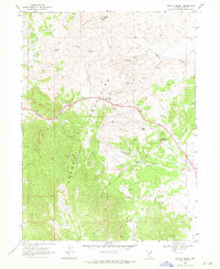
1968 · Pequop Summit
USGS Topo · 1:24,000