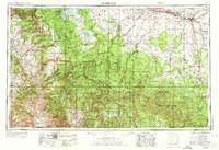
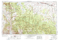
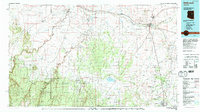
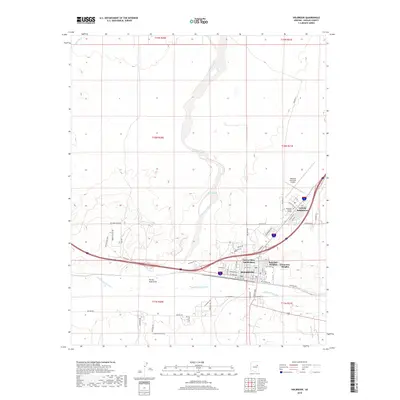
1954 Map of Holbrook
USGS Topo · Published 1973About this map
The Mogollon Rim dominates this mid-century survey, forming a massive geological divide that separates the high plateau of the north from the dramatic mountain country to the south. Along this escarpment, the landscape transitions from the dense timber of the Coconino National Forest and Sitgreaves National Forest into the river-cut valleys of the Tonto National Forest. Water is a central theme of the region, from the natural basin of Mormon Lake to the vital course of the Little Colorado River near Holbrook.
Find a feature on this map
87 named features on this map. Tap any name to fly to it.
Don’t see what you’re looking for? This feature index may not catch every label — zoom into the map to look around manually.
Map Details
Editions of this 1954 Holbrook Map
3 editions found

Historical Maps of Payson Through Time
13 maps found

1886 Holbrook
Navajo County, AZ
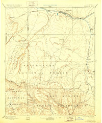
1893 Holbrook
Navajo County, AZ
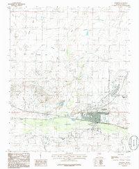
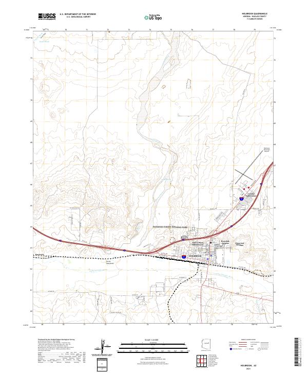
1954 Holbrook
Navajo County, AZ
1955 Holbrook
Navajo County, AZ

1957 Holbrook
Navajo County, AZ

1958 Holbrook
Navajo County, AZ

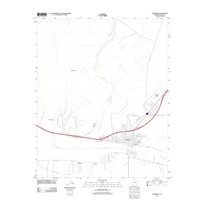
1960 Holbrook
Navajo County, AZ
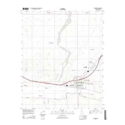
1980 Holbrook
Navajo County, AZ
1986 Holbrook
Navajo County, AZ
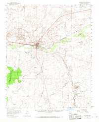
2011 Holbrook
Navajo County, AZ
2014 Holbrook
Navajo County, AZ
2018 Holbrook
Navajo County, AZ
2021 Holbrook
Navajo County, AZ