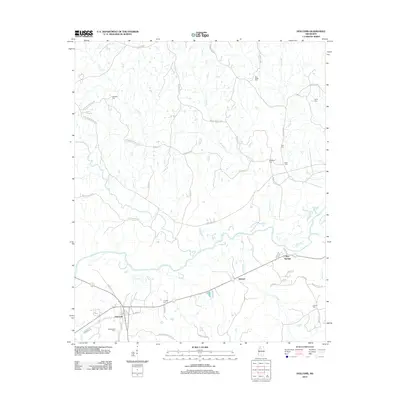
2012 Map of Holcomb
USGS Topo · Published 2012About this map
The Yalobusha River carves a winding path through this corner of Grenada County, defining a landscape of creek-fed bottomlands and rural homesteads. The village of Holcomb serves as a local hub near the southern edge of the sheet, connected by a network of roads like Cascilla Rd and Holcomb Sweethome Rd. Small settlements such as Dubard and Bew Springs are situated along the transit corridor leading east, illustrating the traditional clustering of communities around water and road junctions.
Find a feature on this map
55 named features on this map. Tap any name to fly to it.
Don’t see what you’re looking for? This feature index may not catch every label — zoom into the map to look around manually.
Map Details
Editions of this 2012 Holcomb Map
This is the sole edition of this map. No revisions or reprints were ever made.
Other maps of this area

1932 · Philipp
USGS Topo · 1:48,000

1935 · Philipp
USGS Topo · 1:62,500

1936 · Greenwood
USGS Topo · 1:62,500

1939 · Philipp
USGS Topo · 1:62,500

1940 · Greenwood
USGS Topo · 1:62,500

1953 · Greenwood
USGS Topo · 1:250,000

1953 · West Point
USGS Topo · 1:250,000

1954 · Grenada
USGS Topo · 1:62,500

1954 · McCarley
USGS Topo · 1:62,500

1956 · Greenwood
USGS Topo · 1:250,000