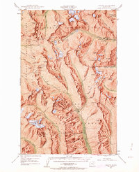
1944 Map of Holden
USGS Topo · Published 1963About this map
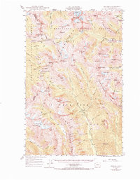
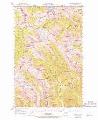
The remote mining outpost of Holden sits deep in the high country, established near the significant Holden Mine along Railroad Creek. This survey, based on 1944 aerial photography, shows the industrial footprint of the era, including the Glacier Peak Mines and the Red Mountain Mine near the settlement of Trinity. The landscape is a high-altitude network of glaciers and sharp ridges, where the Crest Trail and Little Giant Trail provided the primary means of crossing the divide between the Chelan, Wenatchee, and Mount Baker National Forests. This map is particularly notable for its record of the Lyman Glacier and Entiat Glacier before mid-century changes, alongside landmarks like Bonanza Peak and Chiwawa Mtn. It documents the specific moment when high-mountain extraction and backcountry recreation, represented by Grouse Camp and McKenzie Camp, shared these remote valleys.
Find a feature on this map
92 named features on this map. Tap any name to fly to it.
Don’t see what you’re looking for? This feature index may not catch every label — zoom into the map to look around manually.
Map Details
Editions of this 1944 Holden Map
7 editions found
Other maps of this area

1899 · Glacier Peak
USGS Topo · 1:125,000

1901 · Glacier Peak
USGS Topo · 1:125,000

1901 · Chiwaukum
USGS Topo · 1:125,000

1902 · Skykomish
USGS Topo · 1:125,000

1902 · Stehekin
USGS Topo · 1:125,000

1904 · Stehekin
USGS Topo · 1:125,000

1904 · Chiwaukum
USGS Topo · 1:125,000

1905 · Skykomish
USGS Topo · 1:125,000

1944 · Holden
USGS Topo · 1:62,500

1944 · Lucerne
USGS Topo · 1:62,500