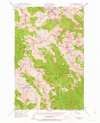
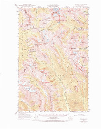
1944 Map of Holden
USGS Topo · Published 1963About this map
Holden Mine and the adjacent settlement of Holden anchor the northeastern landscape of this mid-century survey, illustrating the industrial footprint in the high Cascades. The map details a region defined by massive ice fields and high peaks at the meeting point of the Chelan, Mt Baker, and Wenatchee National Forests. High-altitude mining operations such as Glacier Peak Mines and the Red Mountain Mine are situated among the peaks, connected by a network of steep passes like Suiattle Pass and Cloudy Pass.
Find a feature on this map
92 named features on this map. Tap any name to fly to it.
Don’t see what you’re looking for? This feature index may not catch every label — zoom into the map to look around manually.
Map Details
Editions of this 1944 Holden Map
7 editions found
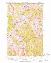
Other maps of this area

1899 · Glacier Peak
USGS Topo · 1:125,000

1901 · Glacier Peak
USGS Topo · 1:125,000

1901 · Chiwaukum
USGS Topo · 1:125,000

1902 · Skykomish
USGS Topo · 1:125,000

1902 · Stehekin
USGS Topo · 1:125,000

1904 · Stehekin
USGS Topo · 1:125,000

1904 · Chiwaukum
USGS Topo · 1:125,000

1905 · Skykomish
USGS Topo · 1:125,000

1944 · Holden
USGS Topo · 1:62,500

1944 · Lucerne
USGS Topo · 1:62,500