
1949 Map of Holden
USGS Topo · Published 1949About this map
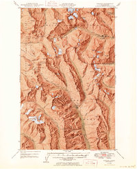
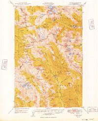
Holden and its namesake Holden Mine anchor this mid-century survey of the high Cascades, where industrial extraction meets a landscape dominated by permanent ice. The map documents a rugged interior economy based on mineral wealth, evidenced by the presence of the Glacier Peak Mines on Miners Ridge and the Red Mountain Mine near Trinity. These outposts are connected by a network of trails and narrow valley routes, such as the one following Railroad Creek towards the village. The terrain is defined by massive glacial systems, including Lyman Glacier and Entiat Glacier, which feed the headwaters of the Chiwawa River and the Entiat River. Notable landmarks such as Bonanza Peak and Mt Maude tower over high-altitude basins like Entiat Meadows, illustrating the complex topography of the Chelan National Forest and Wenatchee National Forest.
Find a feature on this map
89 named features on this map. Tap any name to fly to it.
Don’t see what you’re looking for? This feature index may not catch every label — zoom into the map to look around manually.
Map Details
Editions of this 1949 Holden Map
3 editions found
Other maps of this area

1899 · Glacier Peak
USGS Topo · 1:125,000

1901 · Glacier Peak
USGS Topo · 1:125,000

1901 · Chiwaukum
USGS Topo · 1:125,000

1902 · Skykomish
USGS Topo · 1:125,000

1902 · Stehekin
USGS Topo · 1:125,000

1904 · Stehekin
USGS Topo · 1:125,000

1904 · Chiwaukum
USGS Topo · 1:125,000

1905 · Skykomish
USGS Topo · 1:125,000

1944 · Holden
USGS Topo · 1:62,500

1944 · Lucerne
USGS Topo · 1:62,500