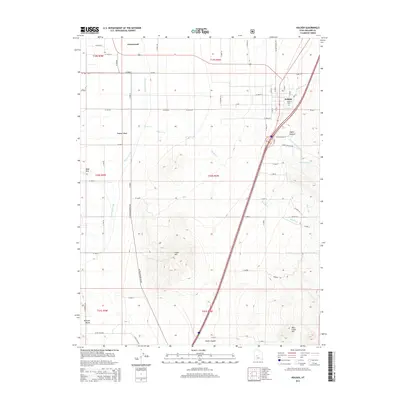
2014 Map of Holden
USGS Topo · Published 2014About this map
Holden sits at the foot of the Pahvant Range in Millard County, positioned where the desert meets the mountains. The town is marked by a grid of numbered streets and the Holden Cem, reflecting a long-established settlement pattern in the Pahvant Valley. To the west, the landscape is defined by agricultural infrastructure, notably the Central Utah Canal and a network of county roads like Co RD 4571 that service the fields surrounding the small community of Greenwood.
Find a feature on this map
73 named features on this map. Tap any name to fly to it.
Don’t see what you’re looking for? This feature index may not catch every label — zoom into the map to look around manually.
Map Details
Editions of this 2014 Holden Map
This is the sole edition of this map. No revisions or reprints were ever made.
Other maps of this area

1885 · Beaver
USGS Topo · 1:250,000

1885 · Sevier Desert
USGS Topo · 1:250,000

1953 · Richfield
USGS Topo · 1:250,000

1953 · Delta
USGS Topo · 1:250,000

1958 · Richfield
USGS Topo · 1:250,000

1958 · Delta
USGS Topo · 1:250,000

1960 · Meadow
USGS Topo · 1:24,000

1961 · Fillmore
USGS Topo · 1:24,000

1961 · Mt. Catherine
USGS Topo · 1:24,000

1961 · Richfield
USGS Topo · 1:62,500