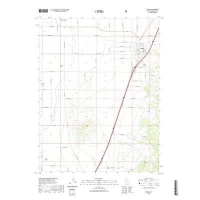
2020 Map of Holden
USGS Topo · Published 2020About this map
The town of Holden serves as the central hub of this Millard County landscape, situated at the eastern edge of the Pahvant Valley. The settlement layout includes local landmarks like the Po and the Holden Cem, while the northern portion of the quadrangle reaches toward Greenwood. The area's agricultural foundation is clearly defined by a sophisticated water management network, including the Central Utah Canal, Wild Goose Cr, and Pioneer Cr. These natural water sources are augmented by numerous man-made features such as Current Spring Ditch, Johnson Ditch, and Pioneer Ditch, which redirect water across the valley floor to support local ranching or farming operations. To the west and south, the terrain rises into prominent formations including Bald Mtn, Cedar Mtn, and Red Cedar Hill, providing a stark contrast to the gridded road system that dominates the valley.
Find a feature on this map
71 named features on this map. Tap any name to fly to it.
Don’t see what you’re looking for? This feature index may not catch every label — zoom into the map to look around manually.
Map Details
Editions of this 2020 Holden Map
This is the sole edition of this map. No revisions or reprints were ever made.
Other maps of this area

1885 · Beaver
USGS Topo · 1:250,000

1885 · Sevier Desert
USGS Topo · 1:250,000

1953 · Richfield
USGS Topo · 1:250,000

1953 · Delta
USGS Topo · 1:250,000

1958 · Richfield
USGS Topo · 1:250,000

1958 · Delta
USGS Topo · 1:250,000

1960 · Meadow
USGS Topo · 1:24,000

1961 · Fillmore
USGS Topo · 1:24,000

1961 · Mt. Catherine
USGS Topo · 1:24,000

1961 · Richfield
USGS Topo · 1:62,500