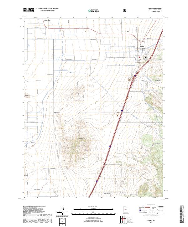
2023 Map of Holden
USGS Topo · Published 2023About this map
Holden serves as the primary hub of this eastern Pahvant Valley landscape, positioned near the foot of the mountains where Wild Goose Creek and Maple Hollow drain toward the valley floor. The settlement pattern reflects a classic high-desert agricultural layout, with the town's grid adjacent to the Holden Cem and supported by an intricate irrigation network including the Central Utah Canal, Johnson Ditch, and Pioneer Ditch. These waterways are vital lifelines through the arid terrain, which is otherwise defined by prominent landmarks like Cedar Mtn and Sage Hill.
Find a feature on this map
68 named features on this map. Tap any name to fly to it.
Don’t see what you’re looking for? This feature index may not catch every label — zoom into the map to look around manually.
Map Details
Editions of this 2023 Holden Map
This is the sole edition of this map. No revisions or reprints were ever made.
Other maps of this area

1885 · Beaver
USGS Topo · 1:250,000

1885 · Sevier Desert
USGS Topo · 1:250,000

1953 · Richfield
USGS Topo · 1:250,000

1953 · Delta
USGS Topo · 1:250,000

1958 · Richfield
USGS Topo · 1:250,000

1958 · Delta
USGS Topo · 1:250,000

1960 · Meadow
USGS Topo · 1:24,000

1961 · Fillmore
USGS Topo · 1:24,000

1961 · Mt. Catherine
USGS Topo · 1:24,000

1961 · Richfield
USGS Topo · 1:62,500