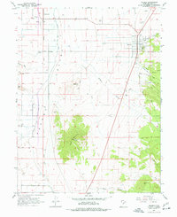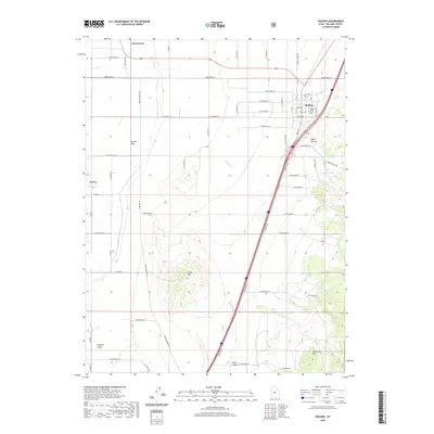
1962 Map of Holden
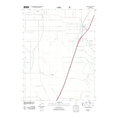
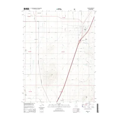
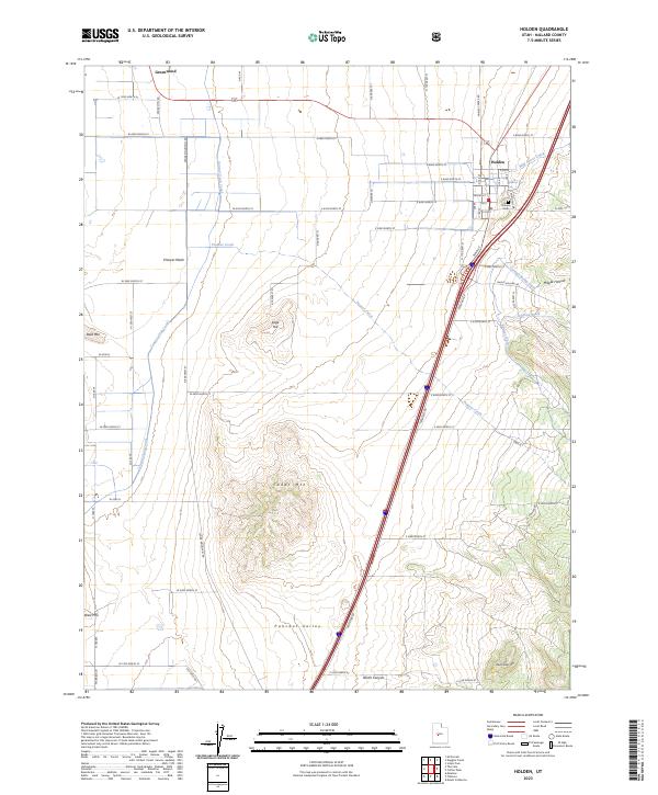
USGS Topo · Published 1974About this map
Holden sits at the edge of the Canyon Mts and the Pahvant Valley, serving as a central point of settlement in this 1960s study of Millard County. The map reveals an intricate water management system essential for high-desert agriculture, featuring the Pioneer Ditch and Johnson Ditch alongside natural drainages like Eightmile Creek and Whisky Creek. To the west, the landscape shifts dramatically toward The Cinders and The Sink, reflecting the area's volcanic and terminal drainage characteristics. Transportation and infrastructure are anchored by the Union Pacific line and the Radio Towers atop Cedar Mtn. Smaller communities such as Greenwood and Mc Cornick are documented alongside local landmarks like the Cem near Holden and the curiously named Devils Kitchen.
Find a feature on this map
45 named features on this map. Tap any name to fly to it.
Don’t see what you’re looking for? This feature index may not catch every label — zoom into the map to look around manually.
Map Details
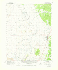
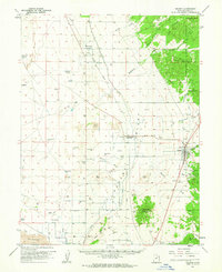
Editions of this 1962 Holden Map
2 editions found
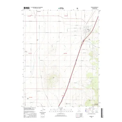
Historical Maps of Holden Through Time
7 maps found