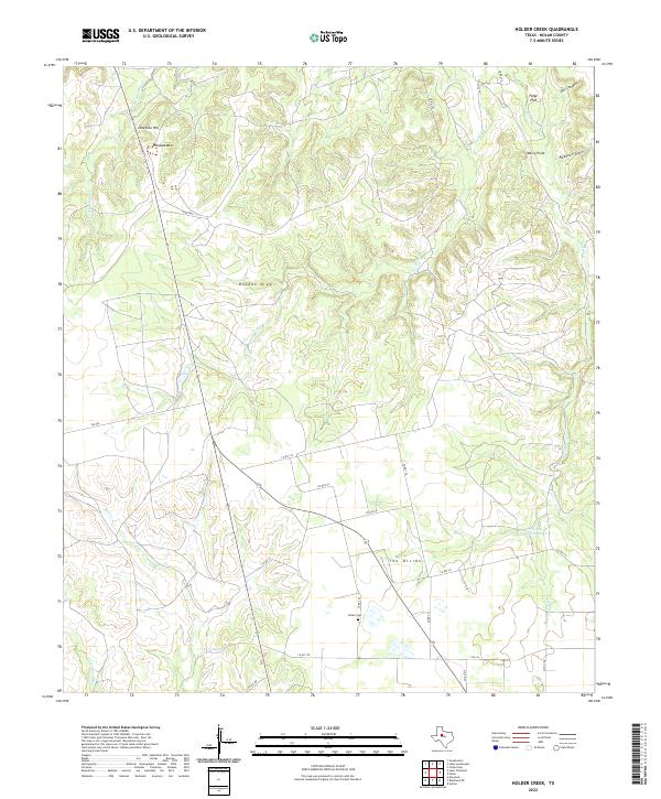
2022 Map of Holder Creek
USGS Topo · Published 2022About this map
The rolling terrain north of Nolan is defined by its seasonal drainage patterns, centered on the winding course of Cottonwood Cr. This upland landscape in Nolan County shows a sparse network of ranch roads and county routes, reflecting the rural ranching character of west-central Texas. The topography here is marked by significant elevation changes that channel runoff through various draws and branches toward the larger creek system, a critical resource for local land use in this semi-arid region.
Find a feature on this map
1 named feature on this map. Tap any name to fly to it.
Don’t see what you’re looking for? This feature index may not catch every label — zoom into the map to look around manually.
Map Details
Editions of this 2022 Holder Creek Map
This is the sole edition of this map. No revisions or reprints were ever made.
Other maps of this area

1893 · Sweetwater
USGS Topo · 1:125,000

1954 · Big Spring
USGS Topo · 1:250,000

1957 · Merkel
USGS Topo · 1:62,500

1958 · Big Spring
USGS Topo · 1:250,000

1967 · Hylton
USGS Topo · 1:24,000

1969 · Blackwell NE
USGS Topo · 1:24,000

1969 · Maryneal
USGS Topo · 1:24,000

1969 · Sweetwater
USGS Topo · 1:24,000

1969 · Holder Creek
USGS Topo · 1:24,000
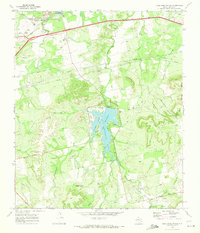
1969 · Lake Sweetwater
USGS Topo · 1:24,000