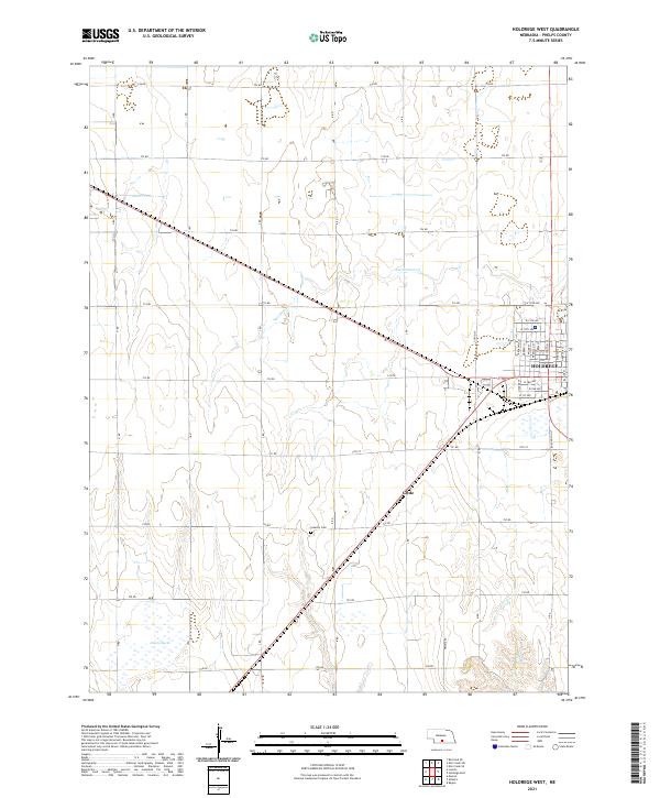
2021 Map of Holdrege West
USGS Topo · Published 2021About this map
Holdrege anchors the eastern edge of this agricultural landscape in Phelps County, showcasing the town's expansion west of Burlington St. The street grid, including residential corridors like Broadway St and McMillan St, transitions abruptly into the section-line road network that defines the Nebraska plains. To the southwest, the Industry Cem stands as a quiet marker of the area's rural heritage near the small settlement of Clyde.
Find a feature on this map
37 named features on this map. Tap any name to fly to it.
Don’t see what you’re looking for? This feature index may not catch every label — zoom into the map to look around manually.
Map Details
Editions of this 2021 Holdrege West Map
This is the sole edition of this map. No revisions or reprints were ever made.
Other maps of this area

1896 · Lexington
USGS Topo · 1:125,000

1896 · Holdrege
USGS Topo · 1:125,000

1896 · Kearney
USGS Topo · 1:125,000

1896 · Arapahoe
USGS Topo · 1:125,000

1898 · Arapahoe
USGS Topo · 1:125,000

1899 · Lexington
USGS Topo · 1:125,000

1955 · Grand Island
USGS Topo · 1:250,000

1957 · Grand Island
USGS Topo · 1:250,000

1958 · Grand Island
USGS Topo · 1:250,000

1958 · Mascot
USGS Topo · 1:24,000