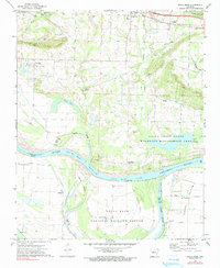
1972 Map of Holla Bend
USGS Topo · Published 1990About this map
Arkansas River meanders and oxbows define this mid-1970s landscape south of Pottsville. The river's migration is preserved in features like the Holla Bend Cutoff and Point Bar Cutoff, which isolate portions of the river valley. Significant land use changes are evident in the creation of the Holla Bend National Wildlife Refuge and the Galla Creek State Wildlife Management Area, marking a transition from active agriculture to conservation and habitat management.
Find a feature on this map
40 named features on this map. Tap any name to fly to it.
Don’t see what you’re looking for? This feature index may not catch every label — zoom into the map to look around manually.
Map Details
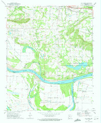
Editions of this 1972 Holla Bend Map
2 editions found
Other maps of this area

1888 · Dardanelle #4
USGS Topo · 1:62,500

1888 · Dardanelle #1
USGS Topo · 1:62,500

1889 · Morrilton No. 3
USGS Topo · 1:62,500

1890 · Dardanelle
USGS Topo · 1:125,000

1892 · Morrillton
USGS Topo · 1:125,000

1894 · Morrillton
USGS Topo · 1:125,000

1956 · Russellville
USGS Topo · 1:250,000

1961 · Adona
USGS Topo · 1:24,000

1961 · Atkins
USGS Topo · 1:24,000
1962 · Moreland
USGS Topo · 1:24,000